
Description
SPECIFICATIONS
APP Supported Languages: English,Simplified Chinese
Aerial Photography: Yes
Aircraf Operating Frequency: 2.4GHz
Brand Name: SZWDSE
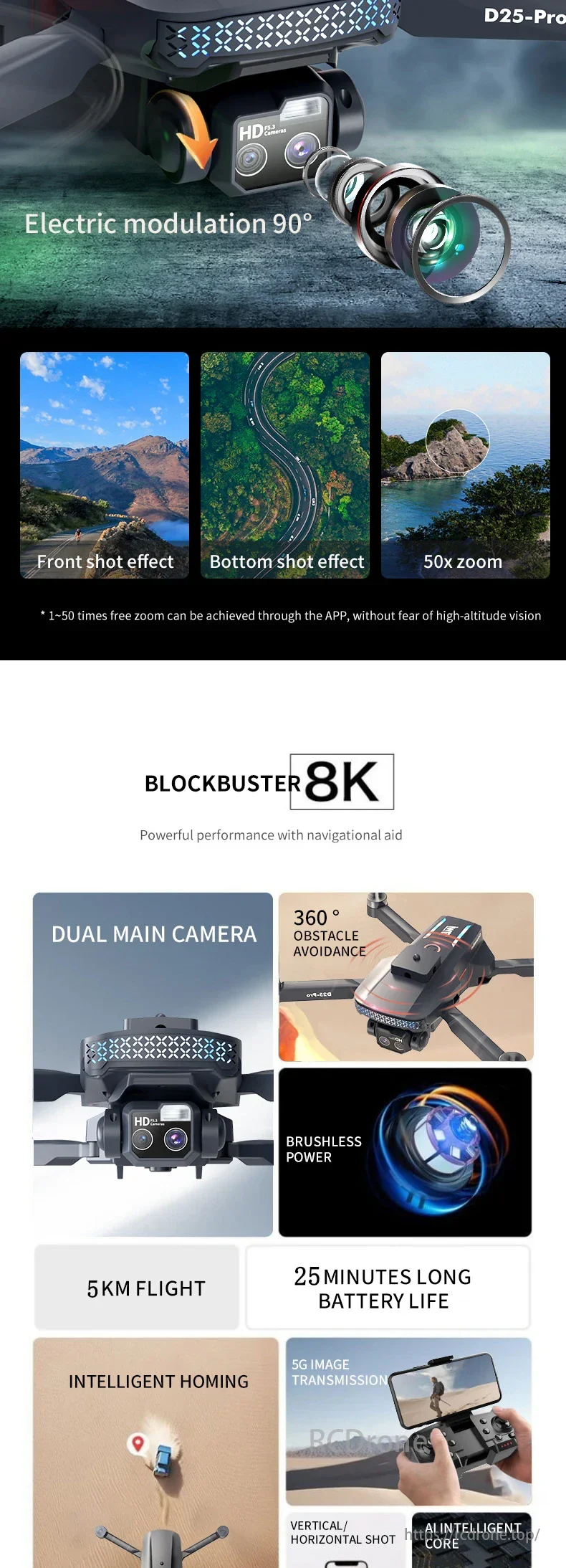
Camera Features: 1080p HD Video Recording,8K HD Video Recording
Camera Integration: Camera Included
Camera Mount Type: Fixed Camera Mount
Camera Stabilization: Electronic Image Stabilization
Category: Camera drone
Certification: CE
Choice: yes
Connectivity: APP Controller,Remote Control,Wi-Fi Connection
Control Channels: 4 channels
Drone Battery Capacity: 3.7V 3000mAh
Drone Weight: 187g
Equipped with Aerosol Spraing System/Spread Tank Volume: No
FPV Operration: Yes
Flight Time: 28min
GPS: Yes
Hign-concerned Chemical: None
Loudspeaker: No
Max Takeoff Weight: <1kg
Max Wind Speed Resistance: <10km/h
Optical Zoom: 50x
Origin: Mainland China
Pixels: Above 6 million
Recommended age[Years]: 14+
Removable/Replaceable Battery: YES
Sensor Size: 1/3.0 inches
Spotlight: YES
Stobe: YES
Video Format[Name/Type]: MP4
Video Maximum Resolution[Pixel X Pixel]: 8K(7680*4320)
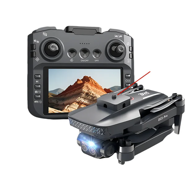
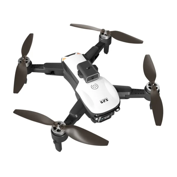
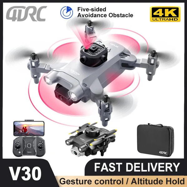
D25-Pro Professional Drone: D25-Pro brushless Drone obstacle avoidance optical flow intelligent screen GPS remote control aircraft 5G map transmission quadcopter
Drones with GPS need to turn off the GPS to fly normally indoors! You only need to open it outside!
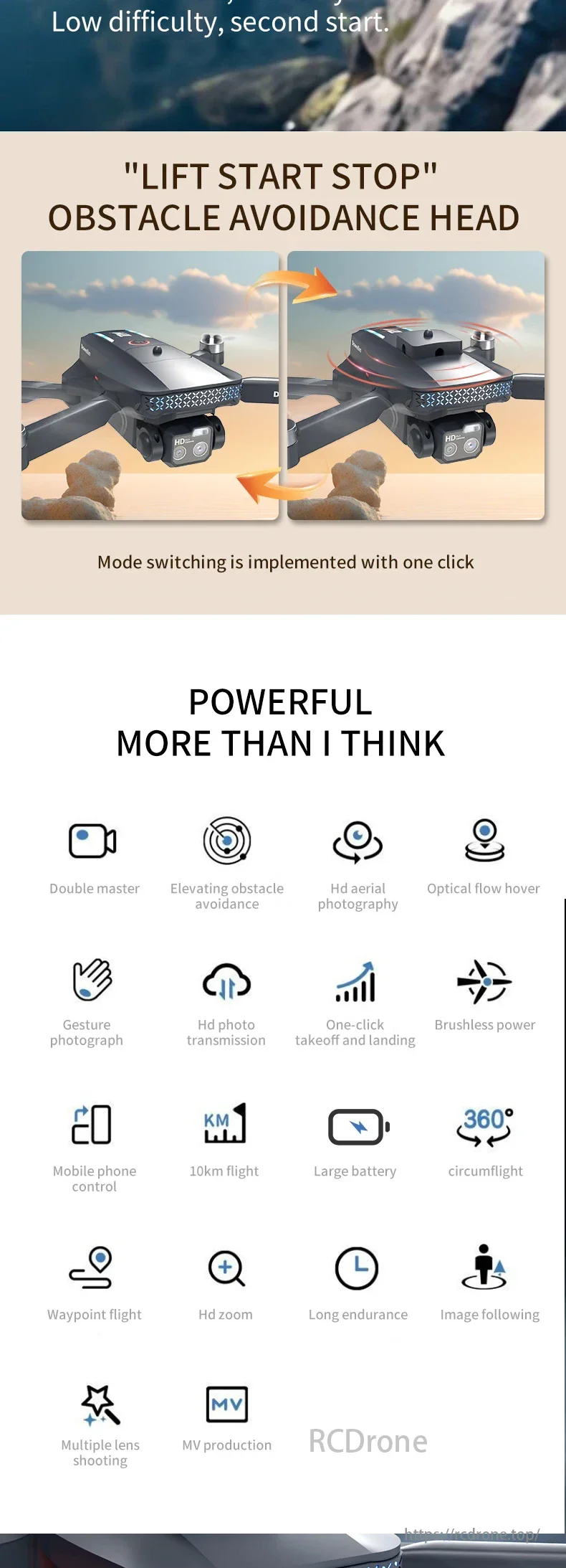
☆5G image transmission + obstacle avoidance + screen controlled remote control
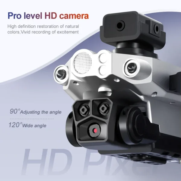
☆8K EIS HD dual lens
☆Drone battery: 3.7V 3000mAh
Fold 8*14*6CM/ Unfold 32*29*6CM
Function description:
1.GPS one-click return to take-off point, low power return, no signal return.
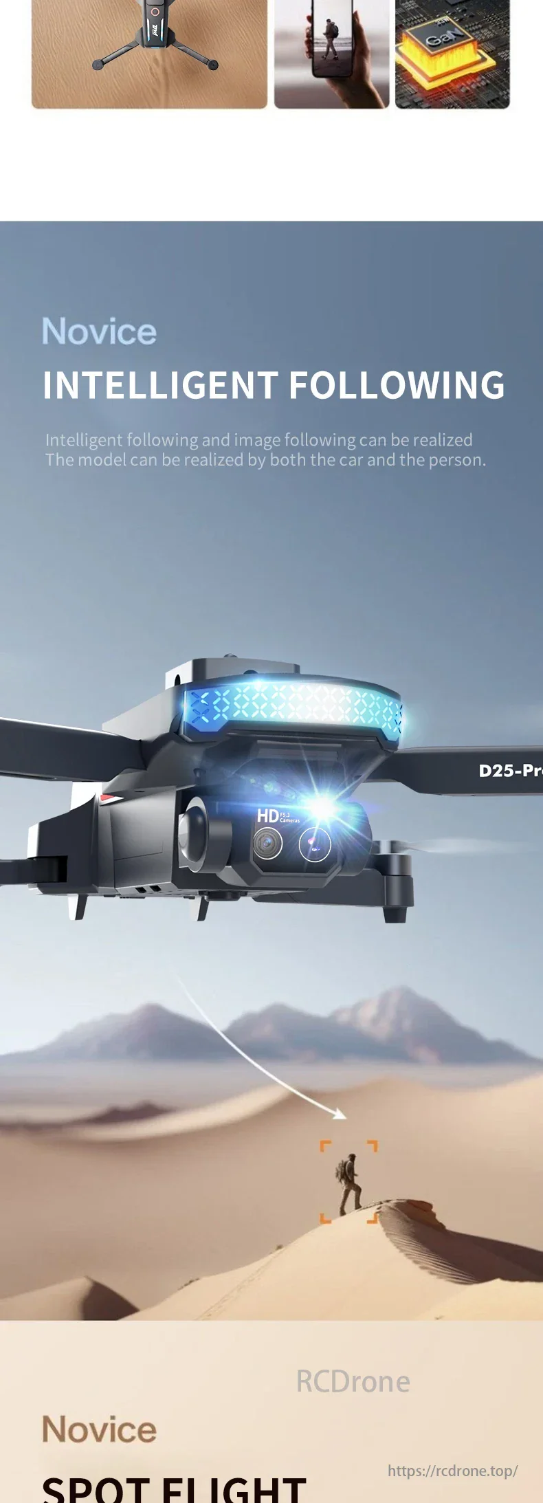
2. ①GPS intelligent tracking; ② Image tracking: identify the target and automatically track the flight
As shown in Figure
3. Gesture recognition: Within 1-3m distance from the aircraft, make a photo gesture/photo gesture towards the camera
As shown in Figure
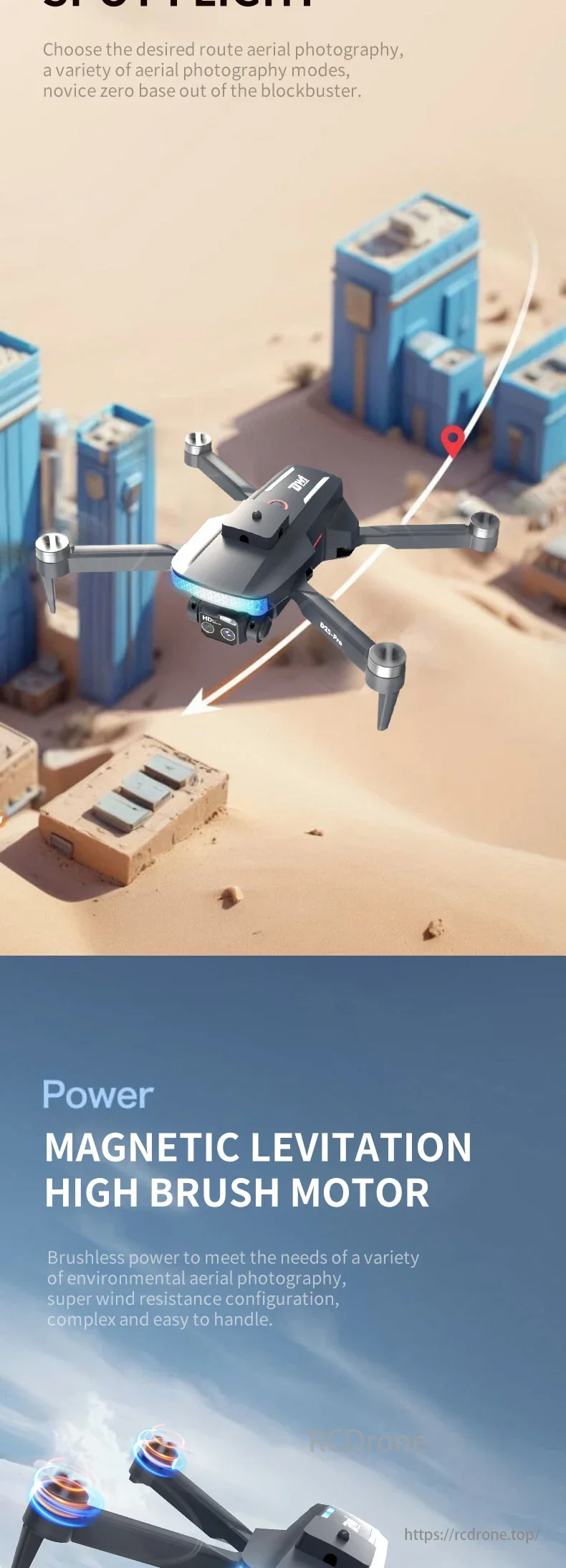
4. Route multi-point planning flight: The aircraft flies autonomously according to a pre-set route, players focus on shooting, touch screen system.
5. Fixed point surround: Find the center point of the surround, and then move the desired surround radius through the joystick.
6. Aircraft search function: Click the GPS signal icon three times consecutively to open the map interface, showing the last distance, latitude and longitude of the aircraft.
As shown in Figure
7. Photo, music, video sharing: Photos can be shared once or multiple times, videos can only be shared individually each time.
8.List: Remote control *1 battery *1 usb cable *1 screwdriver *1 blade *4

Reviews
There are no reviews yet.